Usk
Land Survey
Topographical surveys
Topographical Surveys
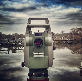
Our skilled survey teams work all over the UK and Ireland, producing high quality topographical survey drawings to meet your requirements. With a high level of training and equipped with the latest instruments, we work efficiently to give a good value service in any location.
Generally working to the RICS specification "Surveys of Land, Buildings and Utility Services at Scales of 1:500 and Larger", our teams' capabilities allow us to produce any type of survey in any environment, including:
◾ Rural survey for contoured terrain models
◾ Pipeline survey for route plans and as-built survey
◾ Urban survey for detailed survey showing all urban infrastructure
◾ Highway survey for high precision spot levels and road markings
◾ Volume survey for earthworks, stockpile or landfill void computations
◾ Watercourse survey for Flood Risk Assessment
◾ Level survey for initial design
◾ GPS survey to fix survey to National Grid and Ordnance Datum
Usk Land Survey © 2015
8901 Marmora Road, Glasgow D04 89GR
Copyright @ All Rights Reserved